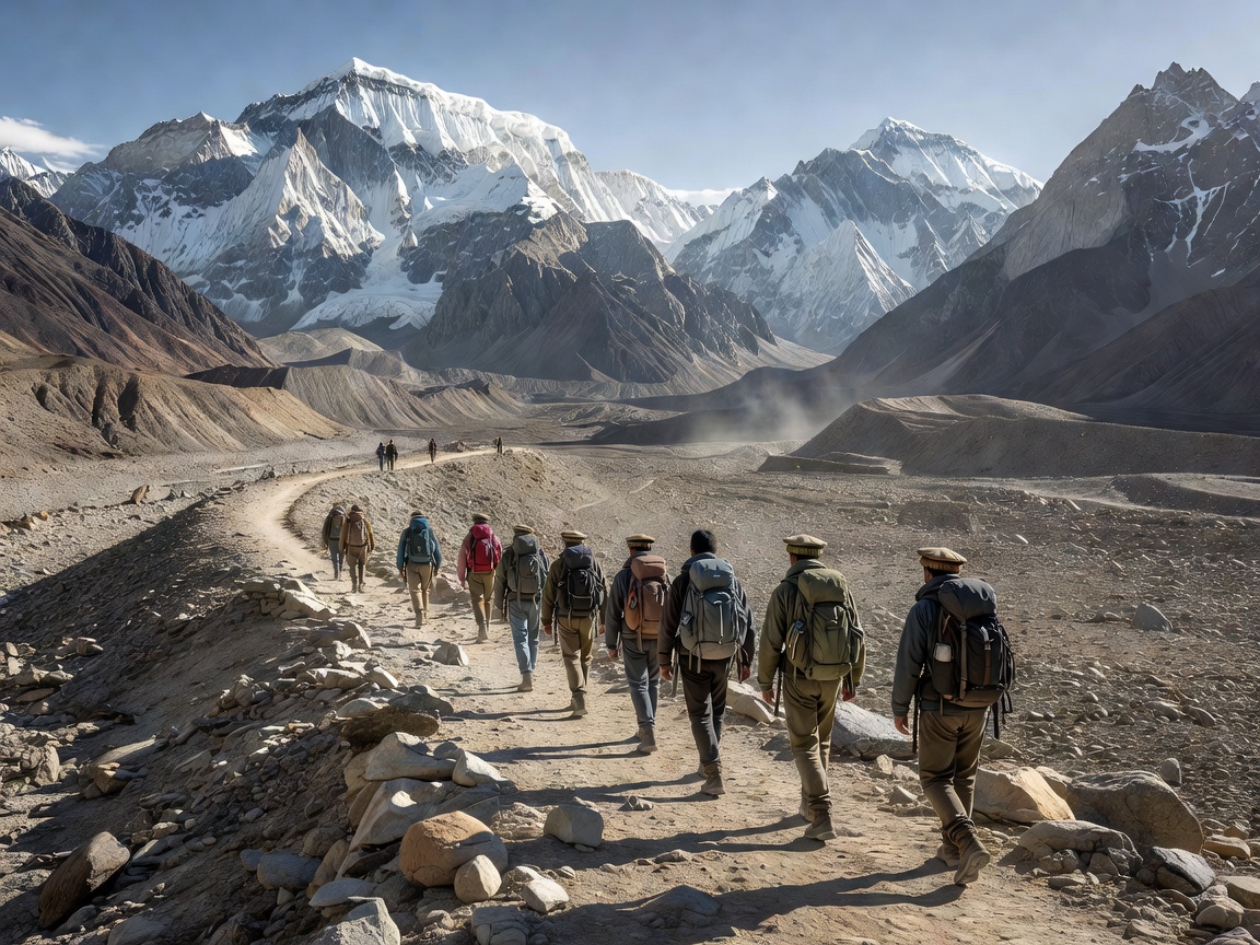
Asia’s mountain ice is often grouped under the broad label High Mountain Asia. That is useful for discussing a large concentration of glaciers, but less useful for predicting conditions in an individual valley. Elevation, aspect, snowfall, temperature and local topography all matter. National borders, protected areas and community arrangements add another layer. A destination guide should therefore begin with regional context, not a promise that one celebrated viewpoint represents an entire mountain range.
01 The Himalaya: moisture, relief and inhabited valleys
The Himalaya arcs across a large part of southern Asia, with profound contrasts between wetter southern slopes and drier areas sheltered from incoming moisture. Summer monsoon snowfall is important in many central and eastern settings, while winter weather also contributes, particularly farther west. These are broad patterns rather than rules for every glacier. A single valley can contain strongly contrasting slopes, wind redistribution and debris-covered glacier tongues.
In Nepal’s Khumbu region, the Khumbu Glacier connects the high Everest landscape to a much wider system of trails, settlements and livelihoods. In the Annapurna region, large elevation differences create rapid transitions in vegetation, weather and human land use. In India’s Uttarakhand, Gangotri Glacier belongs to a headwater landscape with scientific, cultural and religious significance. None of these places should be reduced to an ice-front photograph. Consider the watershed downstream and the people whose ordinary lives support a visitor’s short stay.
02 The Karakoram: large glaciers, distinct behaviour
The Karakoram includes major glacier systems such as Baltoro and Biafo in Pakistan. Baltoro’s setting near Concordia is widely photographed, but reaching it involves a serious expedition environment. The presence of trekking itineraries does not make glacier terrain a marked recreational path. Conditions, river crossings, support arrangements and evacuation possibilities require current local assessment.
Research has described relatively balanced or slightly positive glacier mass budgets in parts of the Karakoram during particular observation periods. This regional pattern is often called the Karakoram anomaly. It does not establish that all Karakoram glaciers are growing, that the pattern is permanent, or that the broader mountain region is unaffected by warming. Regional labels must always travel with dates, methods and uncertainty.
03 Beyond the familiar names
The Pamir and Tien Shan broaden the picture. Glaciers in Tajikistan, Kyrgyzstan and neighbouring areas contribute to river systems that extend well beyond the mountains. The Tibetan Plateau and its surrounding ranges contain further contrasts in climate and ice conditions. A photograph from one accessible valley cannot represent this whole geography. When comparing destinations, use a map to identify the range, basin, glacier and viewpoint separately; those names describe different scales of place.
Maps also deserve care in border regions. Access restrictions can change, and familiar geographic names may have alternative local forms. Use official permit information and locally accepted place names where possible. This site does not resolve territorial disputes or provide permission to enter restricted areas.
04 Plan a visit around restraint
Choose a trip only after assessing whether its demands fit your experience and available support. Ask an appropriately qualified local operator about route conditions, altitude gain, rest opportunities, communications and evacuation limitations. Insurance should be checked against the actual activities and elevations involved; a policy name alone is not enough. No itinerary can guarantee acclimatization, clear weather or rescue access.
- Confirm permits, protected-area rules and any photography or drone restrictions with the responsible authorities.
- Discuss porter and guide working conditions, equipment, accommodation and emergency arrangements.
- Plan to carry out waste, including batteries, and follow local sanitation guidance away from water sources.
- Stay on appropriate established routes; do not approach glacier margins, lakes or unstable slopes for a closer frame.
- Ask permission before photographing people, homes, ceremonies or working research teams.
Finally, set a learning objective that does not depend on reaching a particular point. You might document a valley cross-section, observe how moraine material differs from bedrock, or record the relationship between settlements and meltwater channels. A useful journey can remain useful when plans change. Turning back is not a failure of observation; it can be evidence of sound judgement.
Keep learning
Use the ice-formation guide to interpret visible features and the research guide to evaluate claims about change. For regional context, consult ICIMOD and relevant national park or government authorities. These resources provide context, not live clearance for a route.